


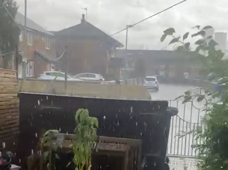
Greater Manchester faces torrential conditions with flood warnings and possible gales as weekend storm threat looms
Manchester is bracing for up to 17 hours of continuous rainfall as stormy weather sweeps across northern England, according to the latest forecast from the Met Office.
The region was struck by a heavy thunderstorm on Thursday afternoon, 11 September, with thunder and lightning reported in parts of Greater Manchester and persistent showers expected to continue overnight. Wind speeds are forecast to gradually ease, but conditions will remain unsettled into the weekend.
Train passengers are already facing severe disruption after a lightning strike in the Castleton area damaged signalling equipment on the rail network.
National Rail confirmed that services through Rochdale and Castleton are being heavily affected. A spokesperson said: “A lightning strike has occurred in the Castleton area and has caused damage to the signalling system, disrupting trains running through this station.”
As a result, Northern services between Manchester Victoria and Rochdale, as well as TransPennine Express services between Manchester Victoria and Hebden Bridge, may be cancelled, delayed by up to 30 minutes, or revised.
While engineers work to repair the system, trains are being forced to travel at reduced speeds through the affected area. Trains are not stopping at Castleton station, and passengers have been advised to use alternative routes.
Ticket restrictions have been lifted, allowing passengers to travel on Manchester Metrolink services between Manchester and Rochdale, Transport for Wales services between Chester and Manchester, and other diverted services via Brighouse. Rail replacement buses are running between Brighouse and Manchester Victoria, with extended journey times of up to 90 minutes.
Although TransPennine Express services do not usually operate via Rochdale, some are now diverting through Brighouse due to ongoing upgrade works at Huddersfield station.
More disruption is possible if the adverse weather continues to impact infrastructure.
A yellow weather warning for wind has been issued for large parts of the UK, coming into effect from 8pm on Sunday, 14 September and lasting until 6pm on Monday, 15 September. Forecasters say gusty conditions could bring disruption to southern and western regions, with coastal areas at particular risk of gales.
Although Friday is expected to bring more heavy downpours and a risk of thunder, meteorologists believe there will be more dry spells compared to Thursday. Temperatures are expected to reach up to 18°C.
Multiple flood warnings remain in place across the North West, with the Environment Agency issuing alerts for areas including Warrington, Fleetwood, West Kirby and Morecambe Bay.
The Met Office has not ruled out the arrival of the UK’s first named storm of the year, Storm Amy, as low-pressure systems build over the weekend. A spokesperson said that the country should expect “more widely wet” conditions by Sunday, with strong winds and further disruption possible depending on the storm's path.
As the region continues to experience extreme and unpredictable weather patterns, residents are urged to monitor local forecasts and travel updates.
 First-person experience of car setting on fire & fire crew response
 Tribute paid to Oldham man who died after three vehicle collision in Royton
 Bee Network bus changes to boost services in Bury and Rochdale
 Gabrielle to headline Rochdale Feel Good Festival 2026 with Ash and Starsailor
 Two men arrested after Rochdale shooting as police continue investigation
 Rochdale council invests £900000 to expand children’s homes for young people with complex needs
 Community Iftar brings Rochdale organisations and residents together at Unity House
 Tony Walsh to host Rochdale poetry event celebrating town’s cultural year
 Rochdale theatre company tours schools programme tackling child criminal exploitation
 All seven dogs recovered after van theft
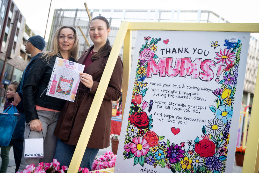 Creative messages for mums go on display at The Rock for Mother’s Day
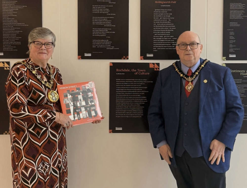 Rochdale Music Stories presents Kenion Street at Heywood Civic


Comments
Add a comment